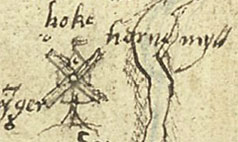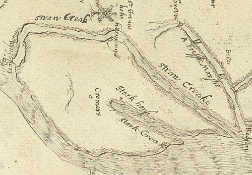
Horne Myll as depicted on a map from 1574
A map from 1574 shows a windmill just to the west of Hook (Hoke), when the piece of water defining Elmley island was known as ‘Straw Creak’. The mill was called Horne Myll (a post mill), and was probably situated close to where Windmill Quay is marked on more modern OS maps. A mill is also shown on a 1719 map, but disappears from maps by 1798.

